FIRST ALERT: Back to summer heat and humidity
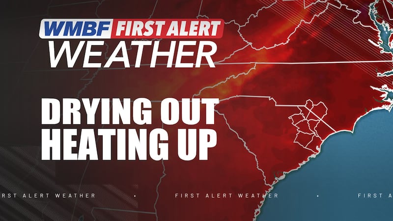
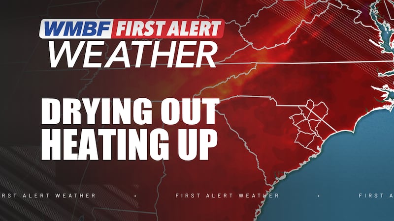
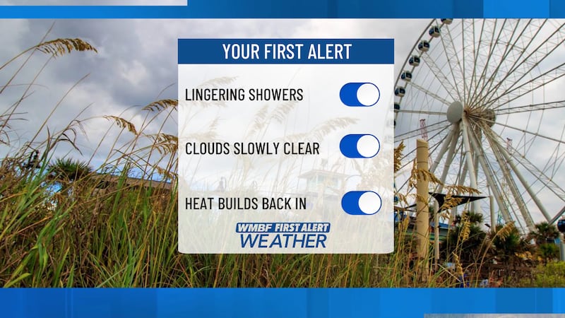
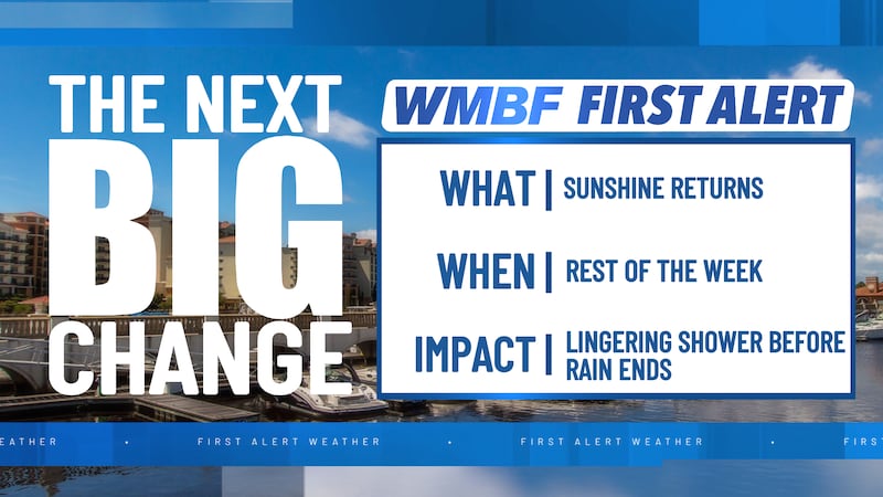
MYRTLE BEACH, SC (WMBF) - We’re giving you the FIRST ALERT to a drier and hotter forecast by the end of the week and into the upcoming weekend.
Wednesday
Morning clouds will gradually give way to more sunshine and brighter skies by the middle of the day and into the afternoon hours. A light southerly wind will begin to pump in the heat.
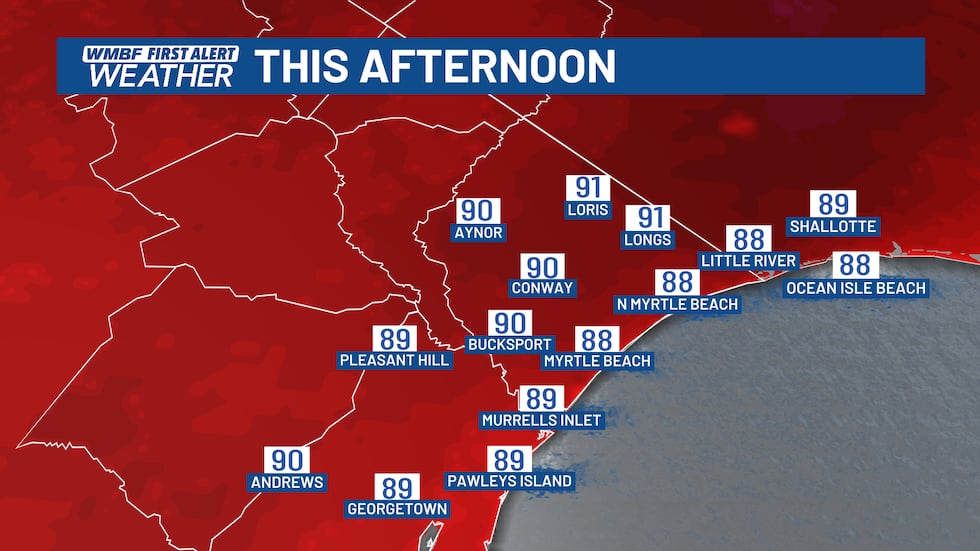
Afternoon temperatures will reach the upper 80s to near 90 along the beaches.
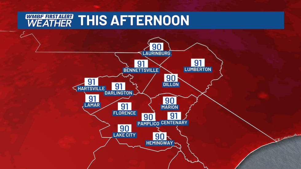
As you move inland, expect a warm forecast with highs reaching the lower 90s. With the humidity in place today, the heat index will return to near 100 by the afternoon.
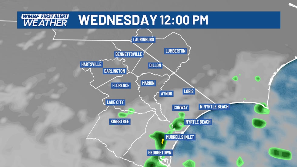
A stray shower along the Grand Strand cannot be ruled out today, but most locations should remain dry.
Heat Returns
Summer heat builds for the rest of the week and into the weekend. Highs will gradually climb into the lower 90s for the Grand Strand from Thursday through Sunday. Inland areas will see temperatures reach into the middle 90s.
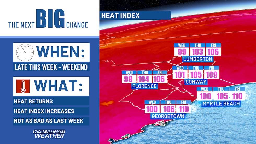
Our humidity levels will return to the STEAMY range once again and result in a heat index increasing to near 105 by Thursday and over 105 by Friday and through the weekend. Heat Advisories may once again be issued for the area later this week and through the weekend.
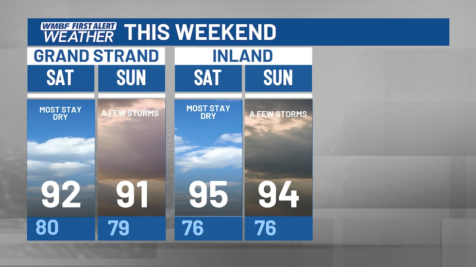
The rest of the work week looks dry, with the next risk of showers and storms holding off until the isolated chances for the upcoming weekend.
Feel more informed, prepared, and connected with WMBF. For more free content like this, download our apps. Have feedback that can help us improve? Click here.
Copyright 2026 WMBF. All rights reserved.