FIRST ALERT: Warmer weather ahead of additional rain chances
MYRTLE BEACH, SC (WMBF) - Warmer temperatures arrive for the rest of the week before our next round of rain LATE Thursday and throughout the day on Friday.
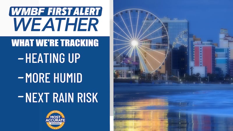
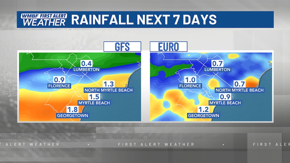
OUR NEXT RAIN CHANCE
Milder temperatures continue through the end of the week with highs in the low-mid 60s on Thursday and Friday.
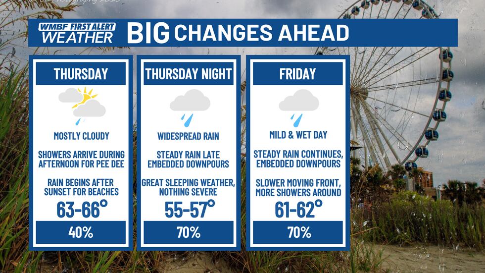
Our next system arrives with a cold front that slowly works through the area LATE Thursday and Friday. This will bring widespread showers starting later in the afternoon for the Pee Dee on Thursday and into the Grand Strand by Thursday evening. With the slower movement of this front, we’ll keep showers around for most of the day on Friday with cloudy skies and rain around.
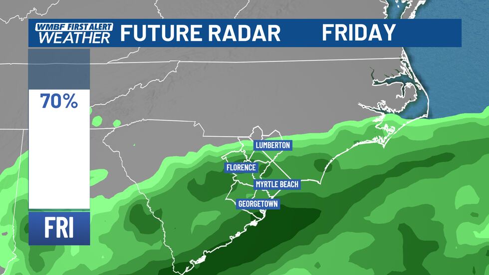
In addition to a slower arrival, models have increased how much rain we could see from this system. We’ll keep an eye on it.
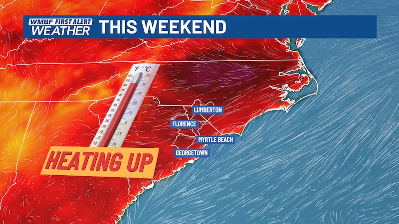
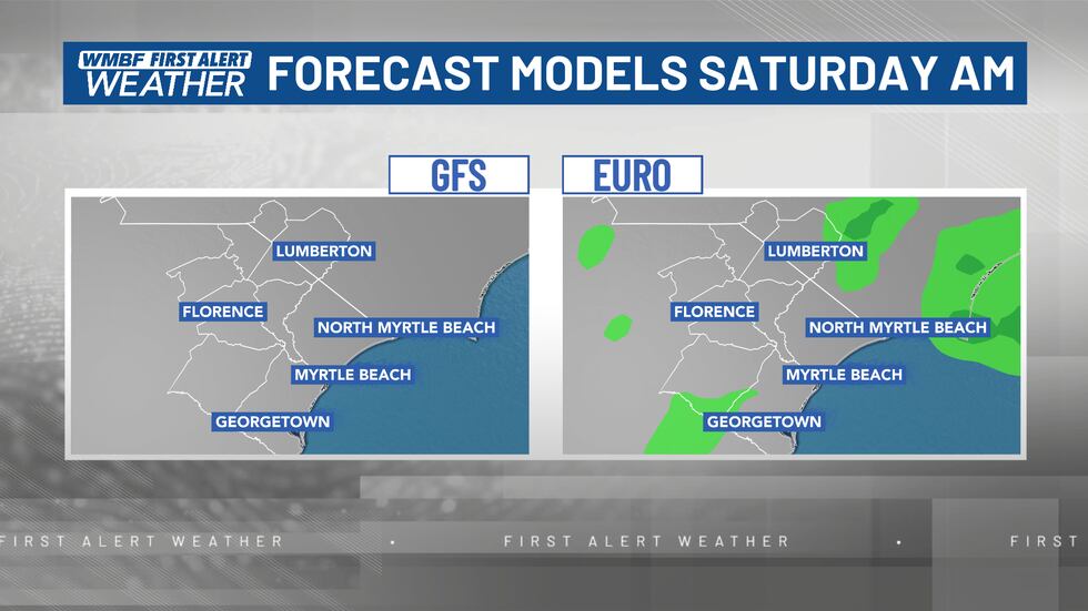
THIS WEEKEND
As mentioned above, a slower-moving system will keep more clouds around, along with the chance of an isolated shower EARLY Saturday morning. While not every model agrees, it’s still something to keep an eye out for. No, this will not ruin your plans for Saturday.
By Saturday afternoon, clearing skies and a breezy wind should allow for a nicer day on tap. Temperatures will climb into the low-mid 60s on Saturday.
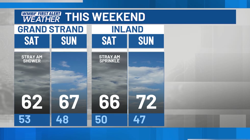
Plenty of sunshine returns on Sunday with spring weather back in full force. Sunday is the PICK of the weekend.
Feel more informed, prepared, and connected with WMBF. For more free content like this, download our apps. Have feedback that can help us improve? Click here.
Copyright 2026 WMBF. All rights reserved.