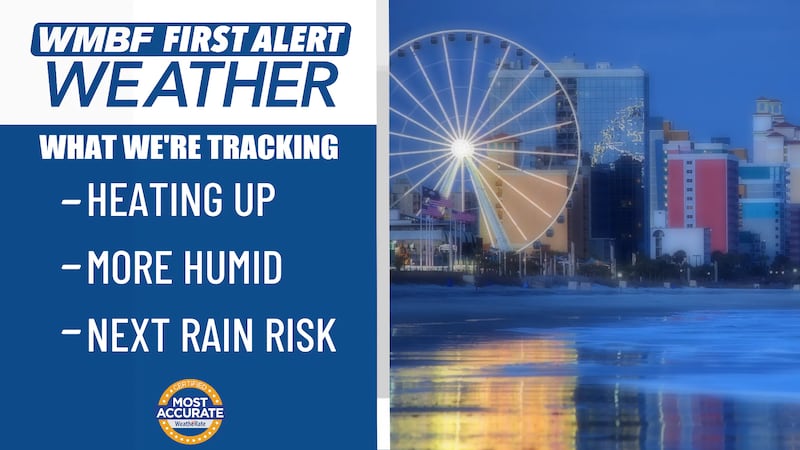
FIRST ALERT: Active week to end the month of October
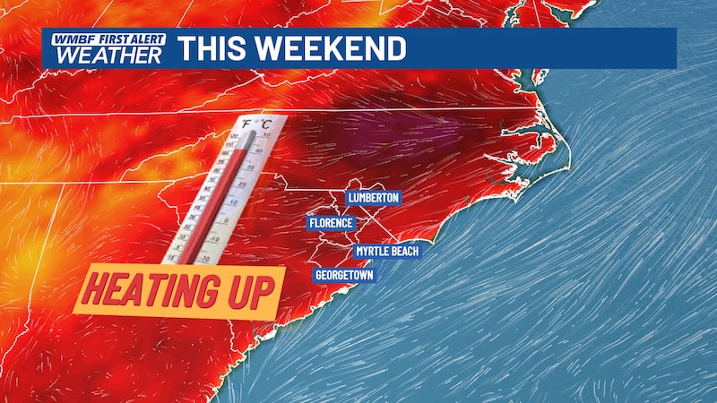
MYRTLE BEACH, SC (WMBF) - We’re giving you the First Alert to get outdoors this weekend before unsettled weather arrives next week.
TONIGHT
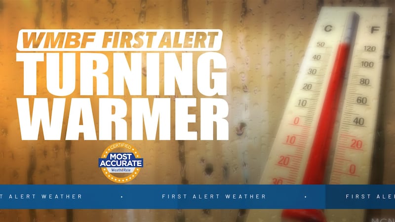
Clouds will continue to increase this evening. We’ll have enough moisture for a stray shower or two. Temperatures will fall in the upper 40s to low 50s inland and mid 50s for the beaches.
COASTAL STORM ARRIVES TOMORROW
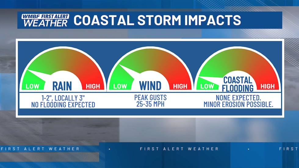
A coastal storm will develop off the Carolina coast on Monday. This will usher in wet, windy, and much cooler conditions for the beginning of the new workweek.
New data this evening continues to show a steady rain through the entire day on Monday with pockets of heavier downpours for some of us. The good news when it comes to the coastal storm is that it will not bring the same impacts as the last coastal storm we had a few weeks ago did.

Wind on Monday will be gusty at times anywhere from 30 to 35 mph, with even higher gusts that could be seen near the coast. Rain chances will linger on Tuesday, but this coastal storm will start to work away from our area through the day on Tuesday.
We will hold on to much cooler temperatures next week, and data suggest another cold front will move through, which will usher in even colder temperatures by the ending of the week.
The cold front could bring another round of rain chances on Thursday; continue to stay up-to-date with the forecast as new data becomes available.

Feel more informed, prepared, and connected with WMBF. For more free content like this, download our apps. Have feedback that can help us improve? Click here.
Copyright 2025 WMBF. All rights reserved.